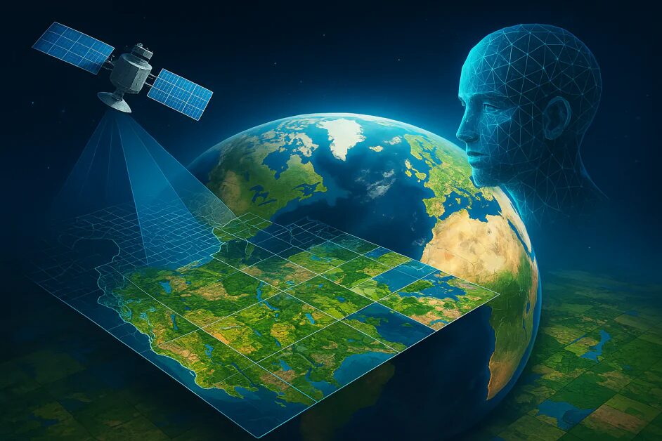
Google just dropped something pretty intriguing: their new AI model called AlphaEarth Foundations. It takes massive volumes of satellite and environmental data and turns them into high-resolution maps at 10 × 10 meter precision—24 % more accurate than previous methods and using far less storage space. (ESG News)
How It Works and Why It’s a Big Deal
Built under the EarthAI initiative, this model crunches petabytes of satellite imagery, delivering on-demand mapping for land and coastal ecosystems. It’s already being used by over 50 partners—like UN FAO and MapBiomas. The precision and efficiency could be a game-changer for monitoring everything from deforestation to coastal changes and urban growth.
Why It Caught My Eye
When I read they’ve improved accuracy and cut storage use so dramatically, I thought how handy that is. Mapping Earth data is expensive and slow. This model could make environmental monitoring feel as easy as pulling up a street map—with real-world benefits for researchers and climate teams around the globe.
Source:
ESG News (AlphaEarth Foundations launch)


